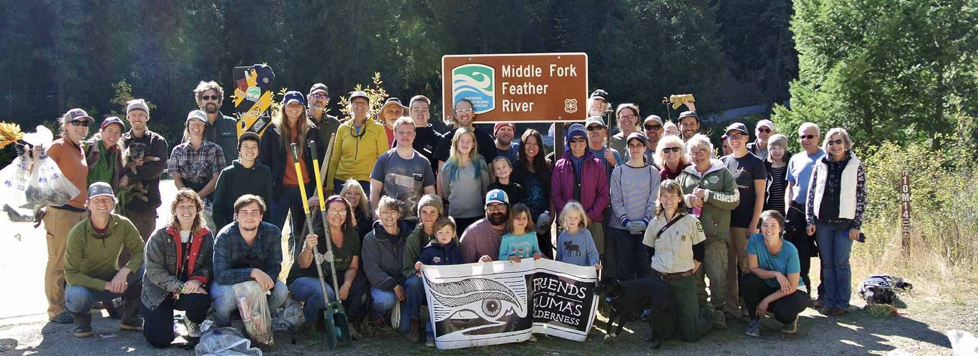
CONNECT WITH US
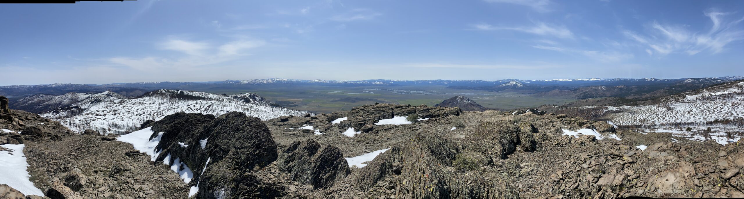
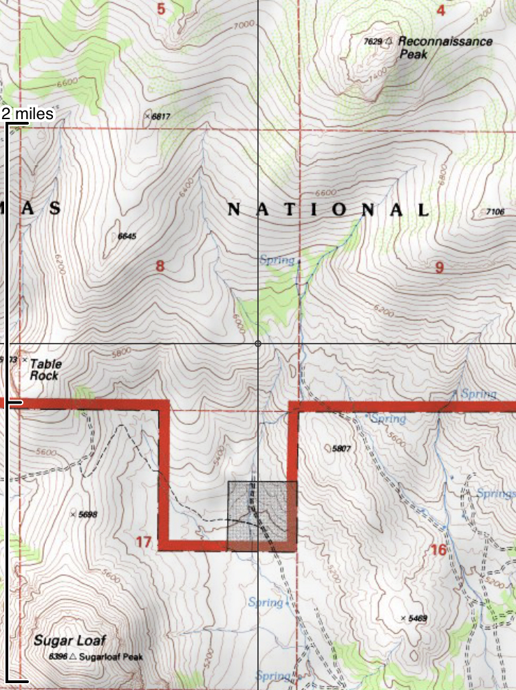
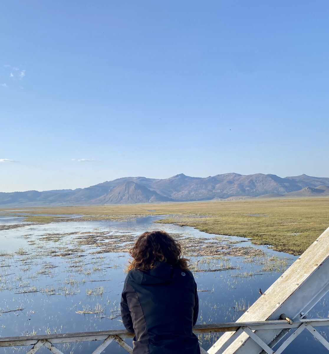
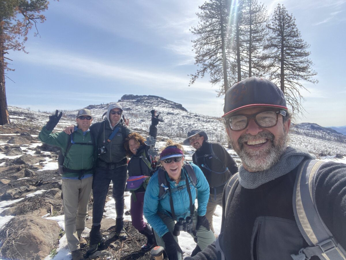
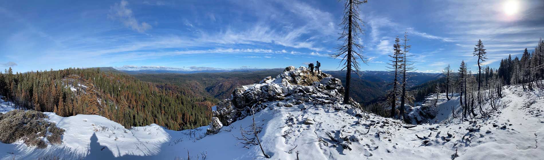
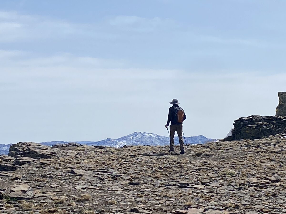
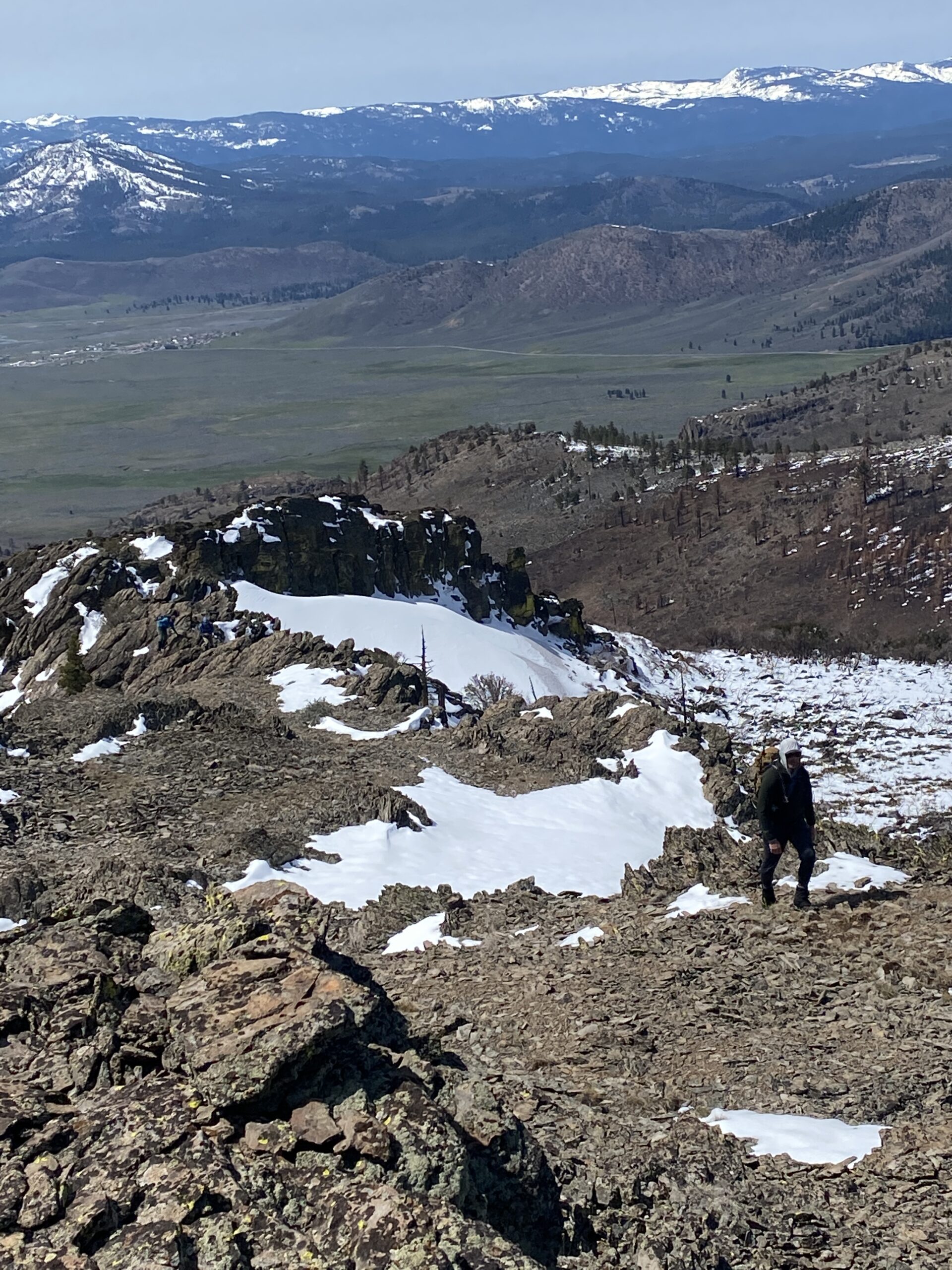
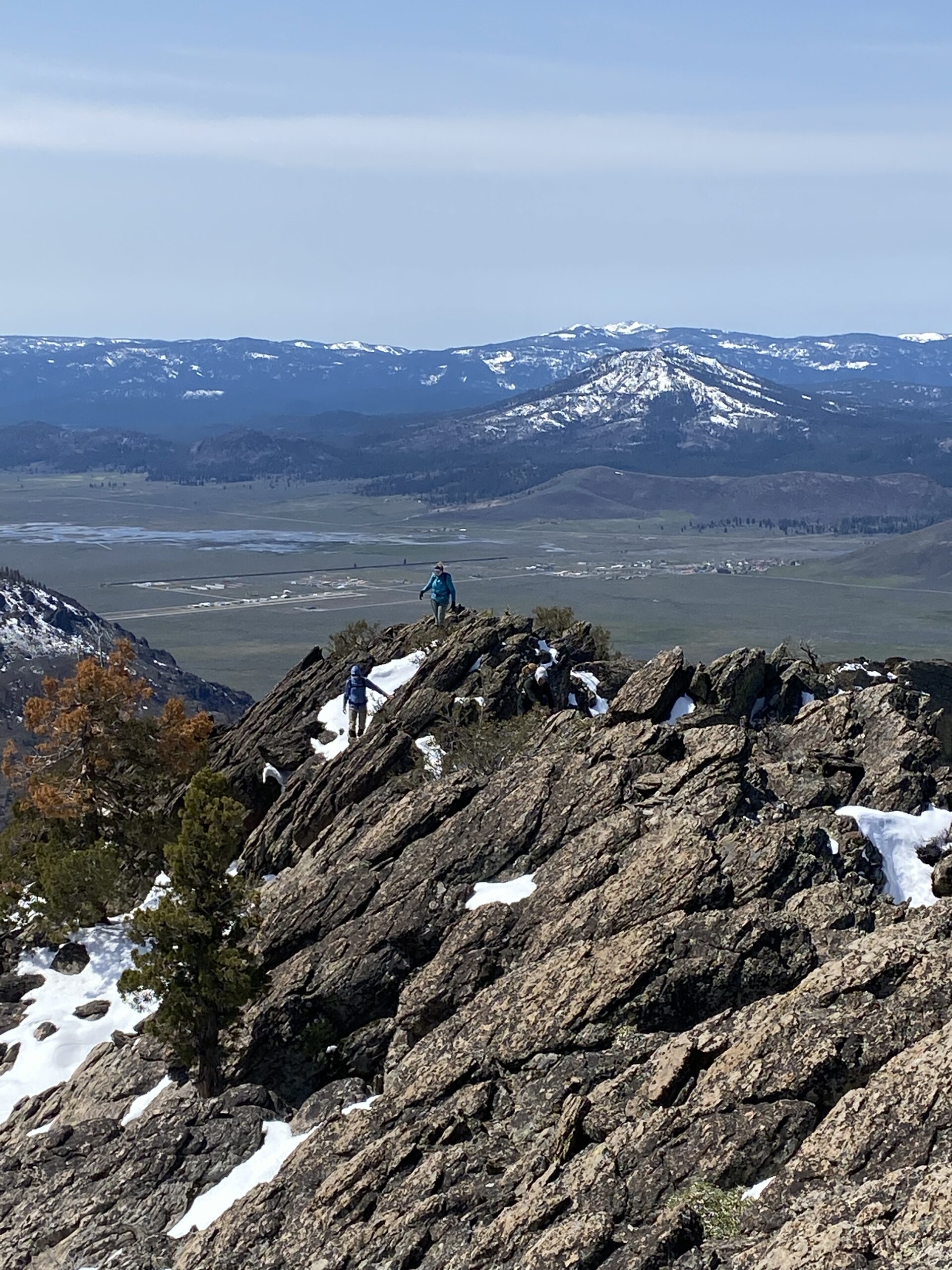
The Oxford English Dictionary defines reconnaissance as a “military observation of a region to locate an enemy or ascertain strategic features.” And indeed, the name Reconnaissance Peak has paramilitary origins. According to Erwin G. Gudde’s California Place Names, “the peak was so named because of the timber reconnaissance work done there in 1914-15” (311). On April 24, members and friends of Friends of Plumas Wilderness climbed Reconnaissance Peak (7,629’) at the north end of Sierra Valley. We set out in sun and wind after driving a rocky, muddy road that, as it climbed, opened onto incredible views of the green, wet valley below.
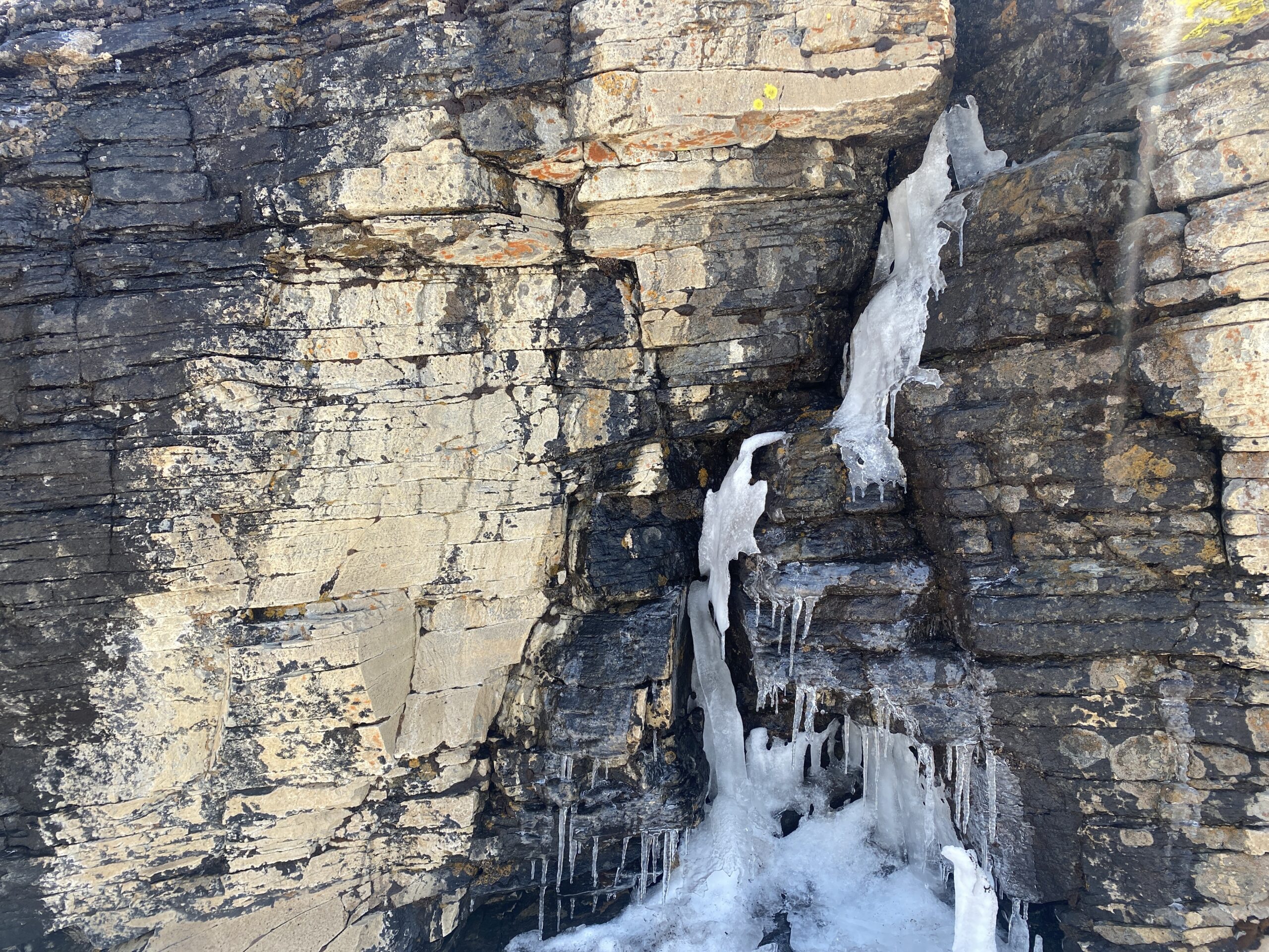
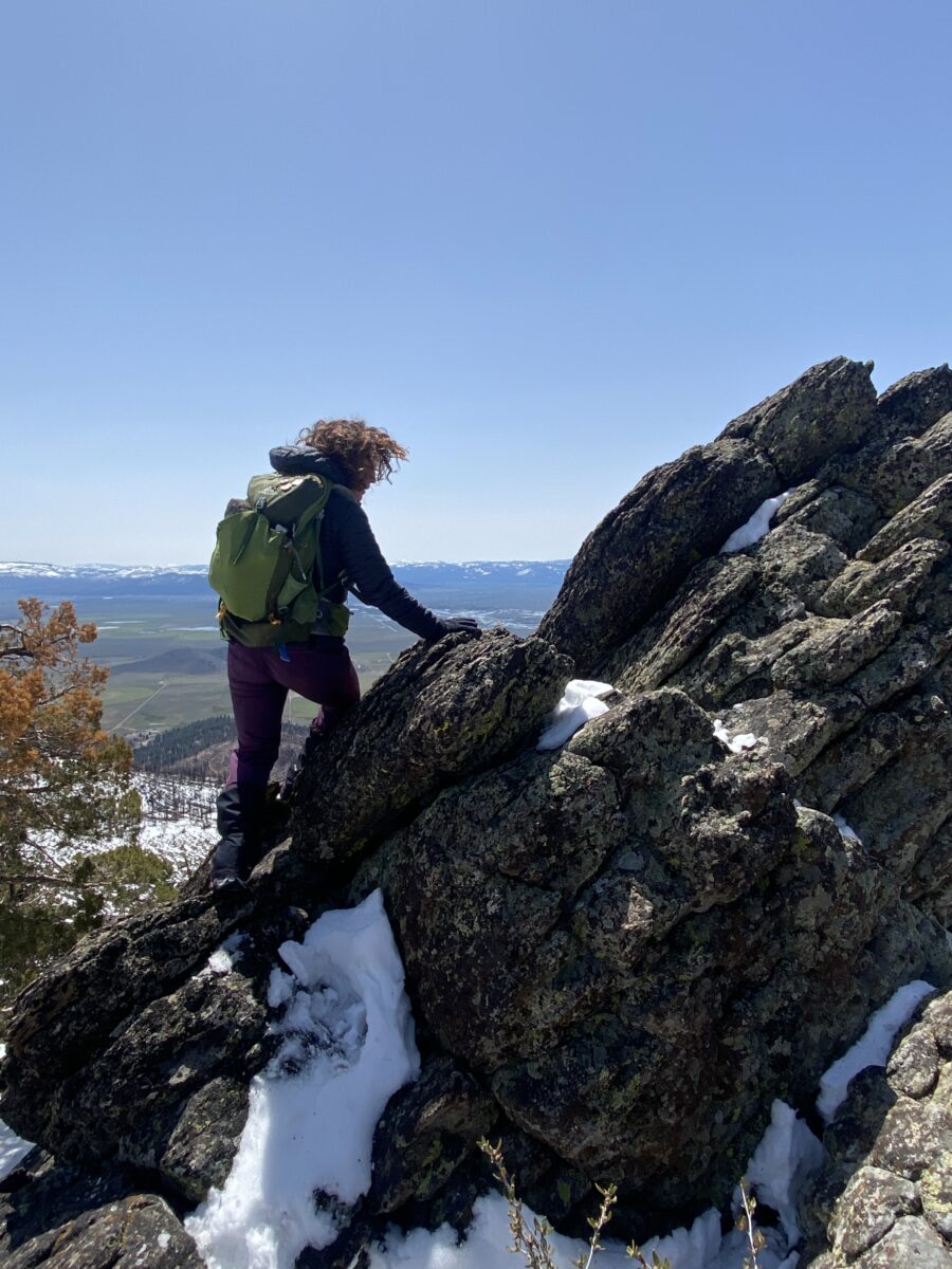
It was a return of sorts, since two of us had attempted the ascent on the same date last year but were turned back by blinding snow. This made the trip a phenology project for us as we focused on the stark differences between that day and this one. For one thing, in the interim, three fires had burned the area, and remnant dozer lines that broke our hearts cut sharp paths along ridgetops, and errant flagging marked helicopter drop points. The fire cleared the slopes of their extensive brushfields, though, making this trek infinitely less arduous than the first. We were happy to find the old junipers in the last saddle unharmed, but the sheltering stands of mountain mahogany had not fared so well. Recent snows stalled the desert bloom this time. From one season to the next, change here can be dramatic.
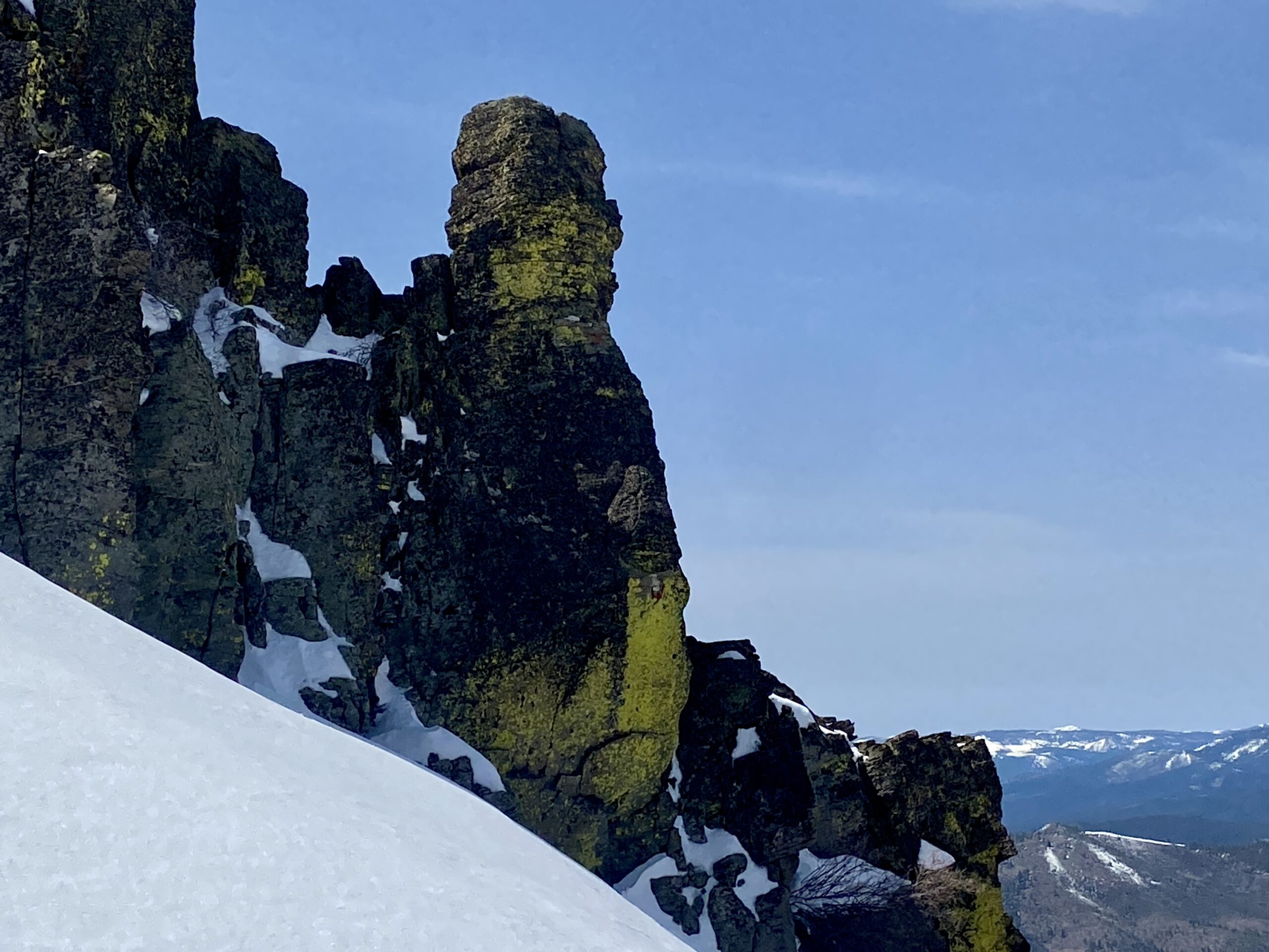
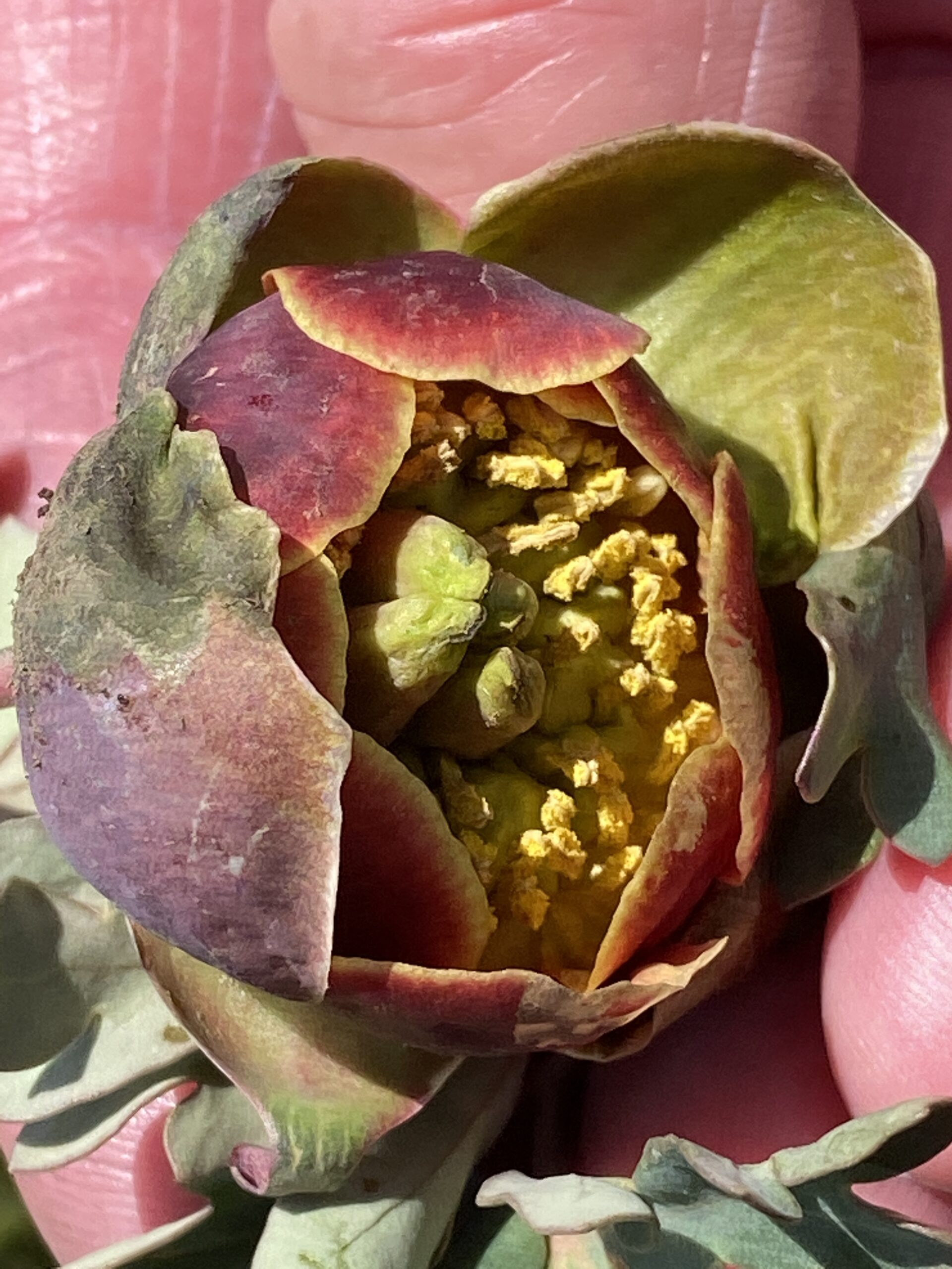
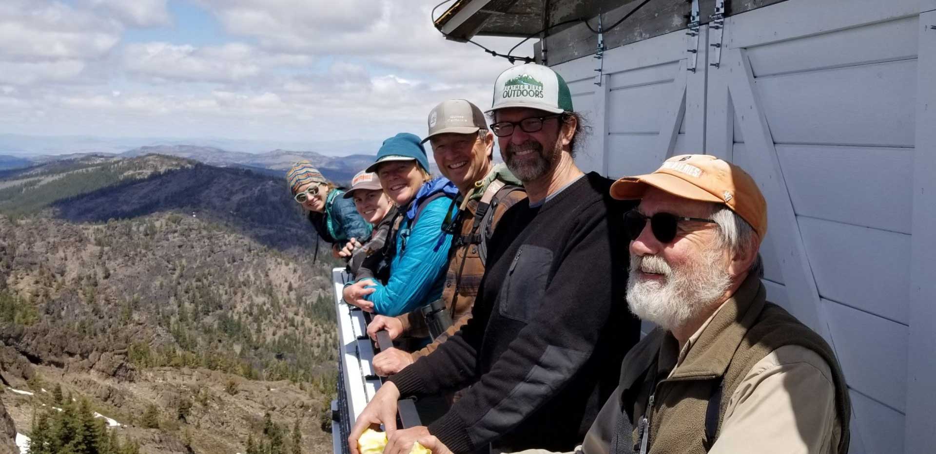
We registered differences in aridity, bloom, and meteorological conditions. Likewise, after a final bouldery scramble, standing at the top, each of us had our own special places in mind, our own intentions of looking outward and identifying other peaks from among the distant line of the Lost Sierra, noting passing birds, or staring down at familiar sites far below. As it is with such vantage points, surrounded on all sides by glorious panoramas, each of us had cause to reflect, for to climb Reconnaissance is to gain intelligence on the lay of the land as well as the condition of our internal landscapes.
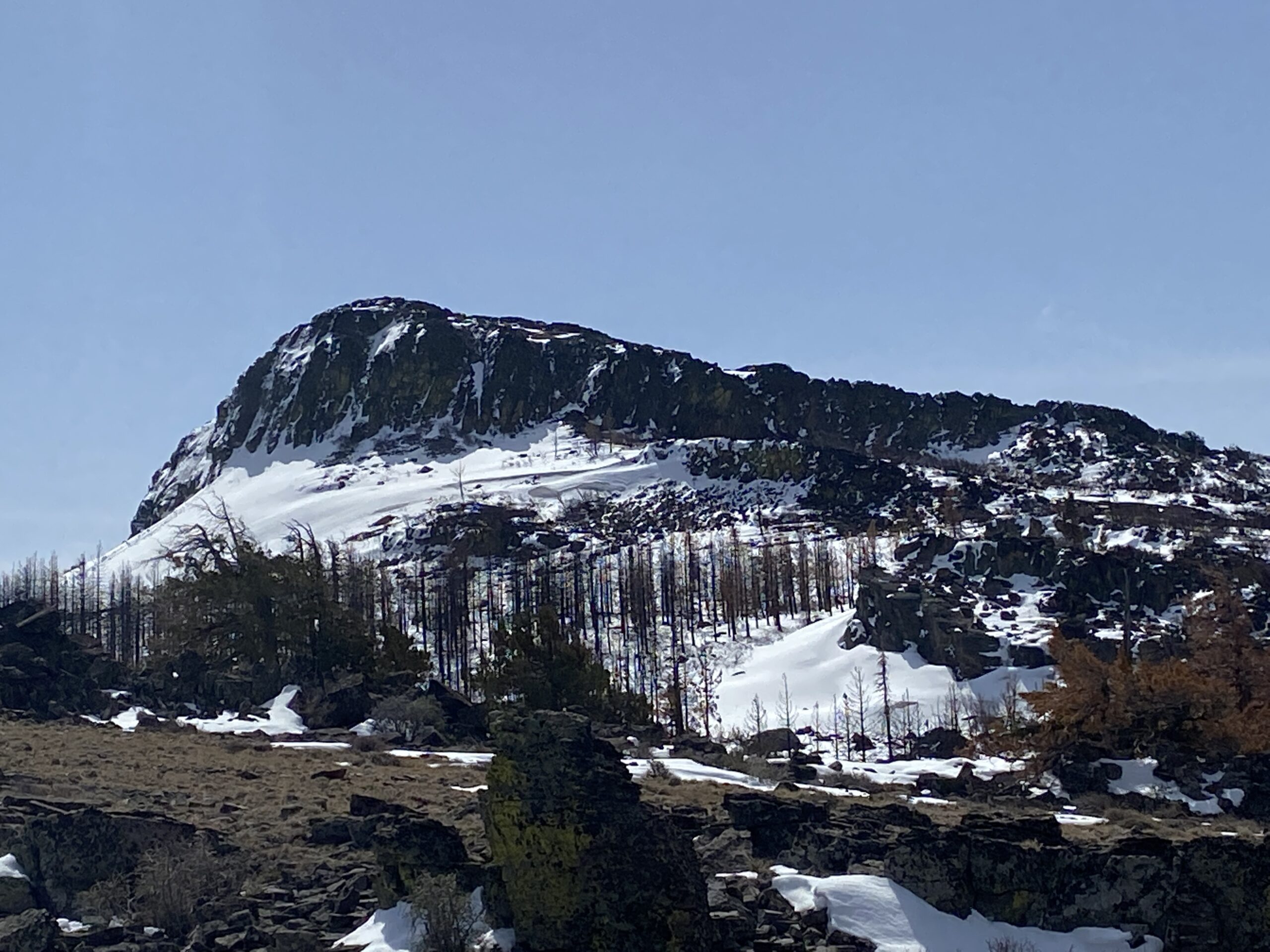
The approach is from the West, near Dotta Saddle, at approximately 6500’, where we followed a deer trail that began at a guzzler placed by the Plumas County Chapter of the Mule Deer Foundation. Recon lies at the south end of Horton Ridge, 21,000 acres of citizen-inventoried roadless area, making the entire region eligible for designation as Wilderness. Horton Ridge is one of the largest unroaded blocks of Plumas National Forest lands and provides unique opportunities for off-trail hiking and hunting.
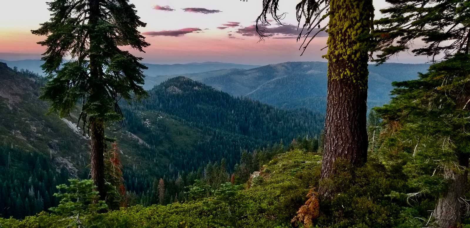
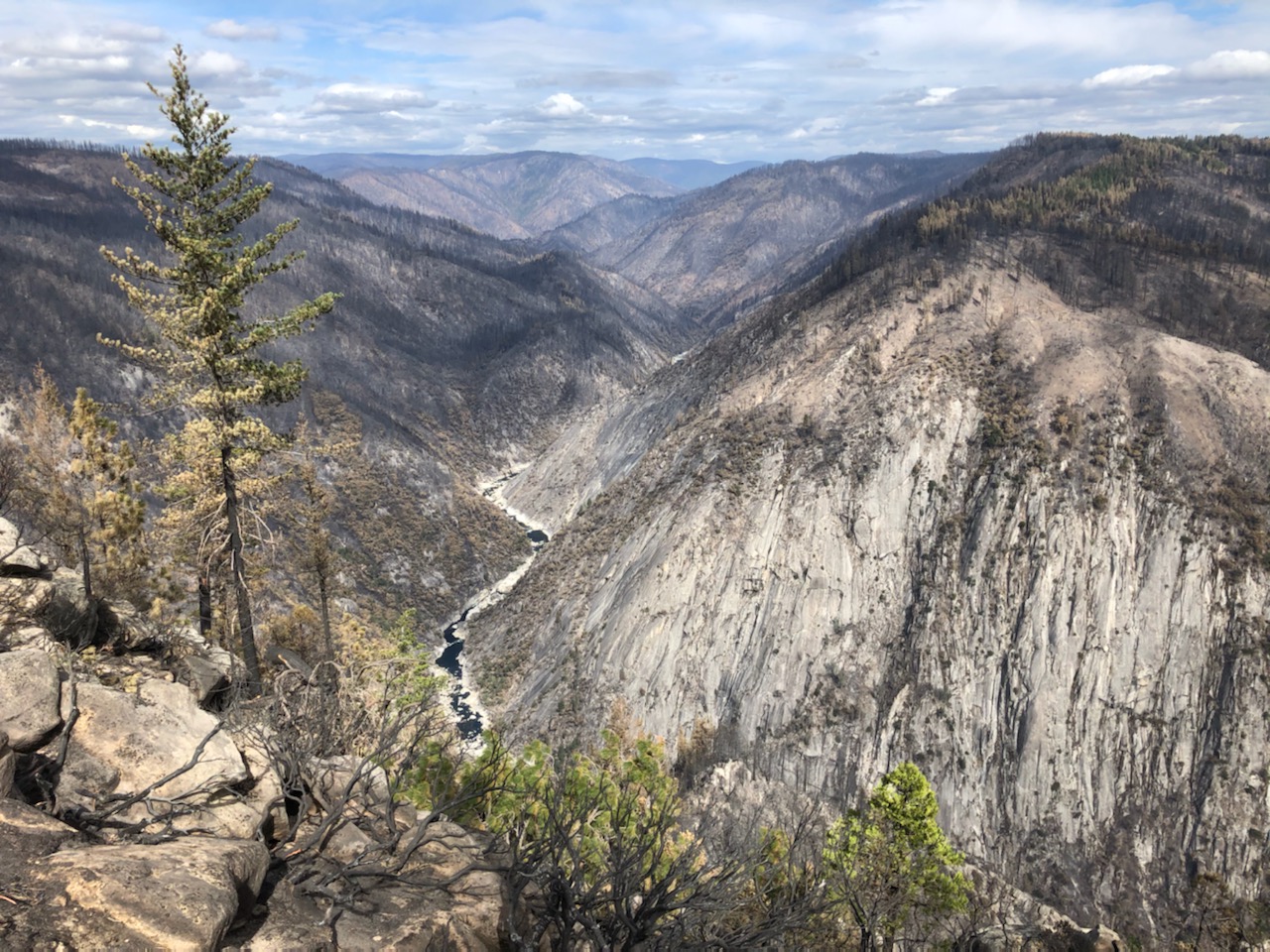
Reconnaissance Peak, mid-way between Adams Peak to the east and Smith Peak to the west, lies in the center of a key migration corridor for the Doyle deer herd, noted as being among the largest in the north state. The area between Bald Rock, two miles east of Recon, and the area south of Lake Davis provide ideal habitat for deer foraging and fawning and are linked by Crocker Meadows State Wildlife Area. Like Dixie/Omjumi Mountain lying to the northeast, Recon feeds the headwaters of the Feather River. It is an important source of Sierra Valley water, and, by extension, the entire state.
At the summit, we sat in the wind and talked, and stared into the distance, and were, by turns, lost in our own thoughts. We found no enemies here, and strategy is a complicated word. Still, strategy bespeaks action, method, plan, so this peak experience was essential to FoPW’s reckoning. If we mean to Protect Plumas, we need to look to the horizon, to the future. Friends of Plumas Wilderness envision a future with wild spaces where mule deer can migrate and people can find solace and joy, solitude and shared purpose. Join our mission to restore a vast network of connected wildlands and wild rivers spanning across the Upper Feather River watershed.